Station 1 · Myopia
The Blind Spot
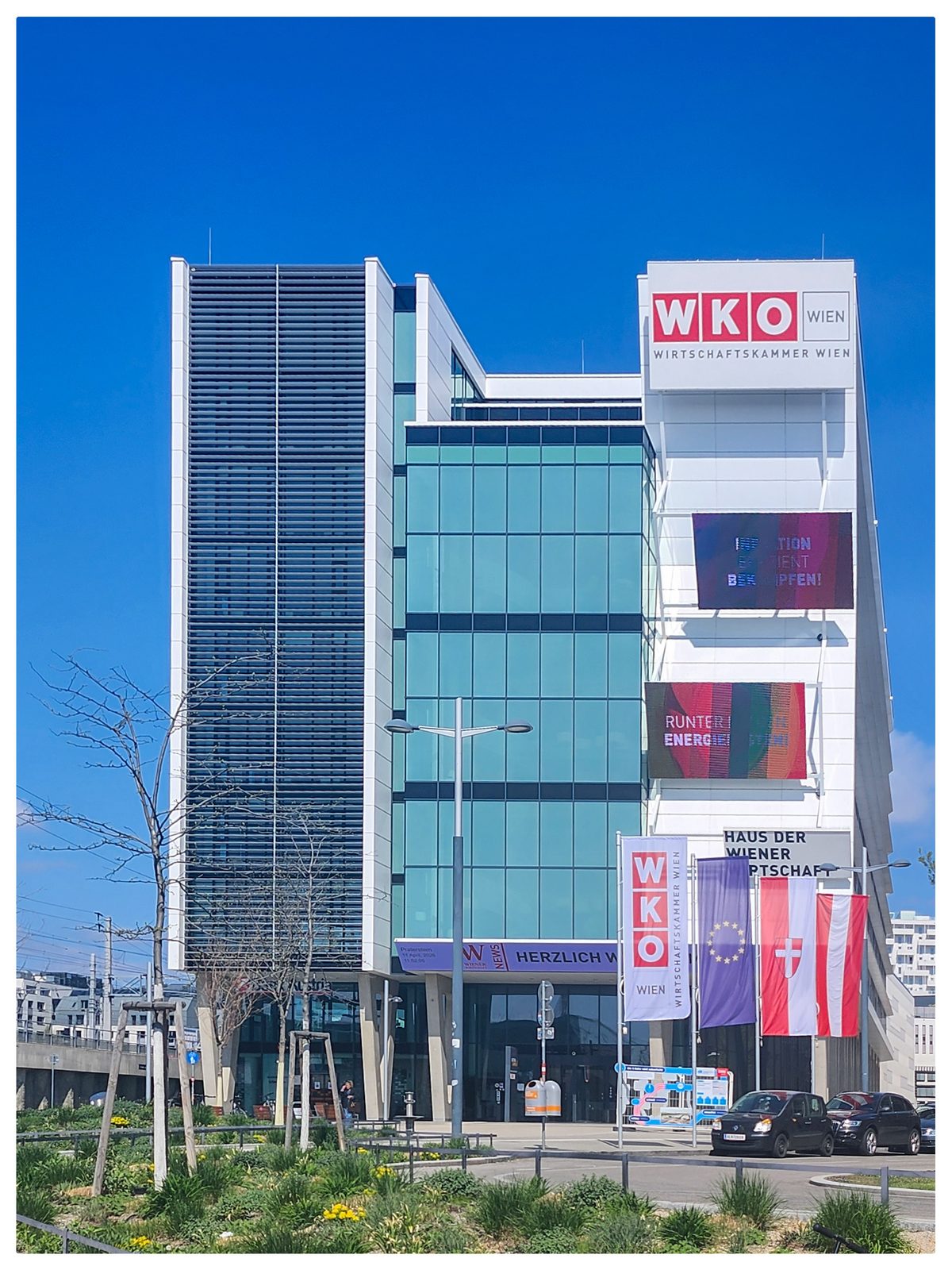
📍 Haus der Wiener Wirtschaft, Praterstern, 1020 Wien
Open in Google Maps — Haus der Wiener Wirtschaft
Background
You are standing at the Praterstern — one of Vienna's busiest transport hubs. U-Bahn, S-Bahn, tram, bus — over 100,000 people pass through here every day. Everything around you is optimised for transit: people arriving, transferring, leaving.
Now look north. Behind the row of buildings across the street lies one of the largest urban development areas in Central Europe: the Nordbahnviertel. Eighty-five hectares of former railway land — roughly the size of Vienna's first district — being transformed into a new city quarter with approximately 10,000 apartments and 20,000 workplaces.
From here, you cannot see any of it. That is Myopia — short-sightedness. The inability to see what is right behind the next row of buildings. This walk will take you there.
Over the next two to three hours, you will walk through 180 years of urban transformation — from imperial railway terminus to urban wilderness. Seven stations. From Myopia to Syntonia.
What to expect
Each station is assigned to a Cloud Nation — a stage in the metamorphosis of a city district. You will encounter a failed World Expo, a demolished imperial station, a corporate campus next to social housing, ground floors waiting for their future, and a 10-hectare urban wilderness that exists because citizens and designers convinced the city to invert the usual logic.
At each station: scan the QR code, read the background text, answer three quiz questions, and complete a photo task. Your score is tracked across all stations.
At the end, you will return here — to this same spot. The question then will be: what do you see at the Praterstern now that you did not see before?
Stand at the edge of Praterstern and look north — in the direction of the Nordbahnviertel. Take a photo. What can you see? What can't you see?
Upload to shared album →By uploading you agree to our photo consent terms.
Quiz